We started from Elm Street Market near our house.
We walked up Elm Street.
From Elm Street the radio towers at the top of the mountain were in view our target.
At the top of Elm Street the Monument Avenue led away through trees to the Old First Church and the Bennington Battle Monument.
Taking the opposite direction we continued up past the old carriage house of the mansion to the entrance of Southern Vermont College.
The area opened up near upon entering the college grounds.
Giving us excellent views of the range from Harmon Hill through Glastenberry Mountain. This is the southern portion of the Green Mountains and the second section of the Long Trail just North of Vermont Route 9.
There was an information and security booth at the campus. This was unmanned on the day though campus security vehicles did pass and wave.
Looking up towards the mountain we could barely see the peak from the close shoulder.
Taking the trails up the past the athletic fields we came to the rail trail in the tree line.
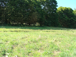
Looking back past the soccer fields towards Bald Mountain, White Rocks and Glsastenbury Mountain.
The old corkscrew rail line now just a line of trees and a few scattered trails.
The rail trail cutting through the campus property.
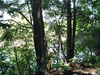
The haunted pond...
and rope swing.
The original mansion had decorative follies. A look out with stairs over the lower fields.
This takes one onto the old carriage path or up to the woods trail we were at.
A second look out and wall and stair system was further up the trail.
The cascade had a lookout for looking down back towards the falling water and the mansion.
Past the cascade was the table...
And ancient basketball court.
From the top of the cascade looking back at the mansion now class rooms.
The fountain at the top of the cascade.
The stairs and spill basins.
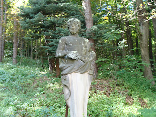
The statues guarding the stars up.
The old Everett mansion now the Southern Vermont College.
After passing the cascade and basketball court we turned at the first junction right and started a steep climb. We continued on this climb coming to a junction. We took the left branch based on the maps we saw, but this led to a dead end at wat appeared to be a water collection area. We backtracked and continued up the path taking the left fork at the next trail head. This lead to the a junction of trails just shy of the summit. Resting we ate our lunch by the radio towers and than headed back down. From the road out of the college we looked back at the Bennington Battle Monument.
5.75 miles from Elms Street Market to the peak of Mount Anthony with an altitude difference of 1679 ft.


